Road salt isn’t effective in forecasted subzero temperatures
Published on:
January 23, 2026


GREENE COUNTY―The one to two feet of snow expected to fall Sunday into Monday has triggered a winter storm warning for the entire region. And while big storms aren’t all that unusual, the subzero temperatures are.
Gov. Kathy Hochul issued a state of emergency on Friday ahead of what she called a “very, very dangerous weather event.”
“Temperatures across New York are plummeting. By tomorrow night we'll be experiencing some of the most dangerous cold we've seen in years,” the governor said.
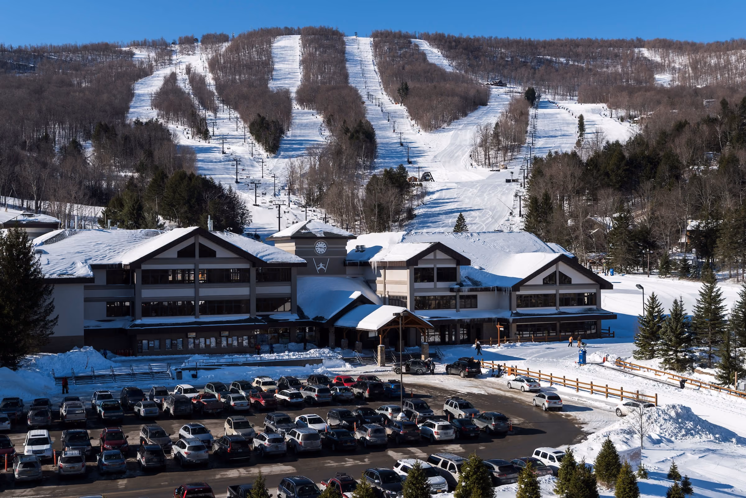
The National Weather Service in Albany is calling for widespread, heavy accumulations, ranging from 12-18 inches in most areas and 18-24 inches for higher elevations of the Catskills, including much of Greene County’s mountaintop.
Meteorologists predict snow will break out mid to late morning on Sunday with rates exceeding an inch per hour, especially in the afternoon and nighttime hours. Most of the snow will be on the ground by daybreak on Monday with the last flakes falling in the late afternoon.
“There's been a lot of reports this year about cold weather, storms coming. This is one you need to take very seriously,” Hochul emphasized.
“If you are in the North Country or Mohawk Valley, what it'll feel like on your skin is minus 40 to 50 degrees—minus 40 to 50 degrees. If you can contemplate that. Other upstate areas are a little warmer, minus 30 degrees and downstate minus five to 10 degrees,” she said.
Under those conditions, hypothermia and frostbite can develop in minutes on exposed skin. People are advised to bundle up and limit time outdoors and pets should not be left outside.
Temperatures are not forecasted to rise significantly anytime soon, with daytime highs not going above 20 degrees and nighttime lows remaining in the single digits through at least Thursday.
“For anyone who is not familiar with the snow and ice removal procedures, temperatures are crucial for melting activity,” said New Baltimore Highway Superintendent and Greene County Highway Superintendents Association President Alan VanWormer.
In New Baltimore and many other municipalities, VanWormer said they apply straight salt during storms when temperatures are in the area of 20 degrees or above.
“The melting factor works pretty well, and roads will become clear,” he explained. “With temperatures below 20, unless municipalities are using treated salt, the melting factor is significantly decreased.”
“Salt treated with a liquid deicing agent will melt snow and ice at lower temperatures of around 10 degrees or so. With the temperatures that we are expecting for this weekend’s storm, even treated salt will not be effective,” VanWormer said.
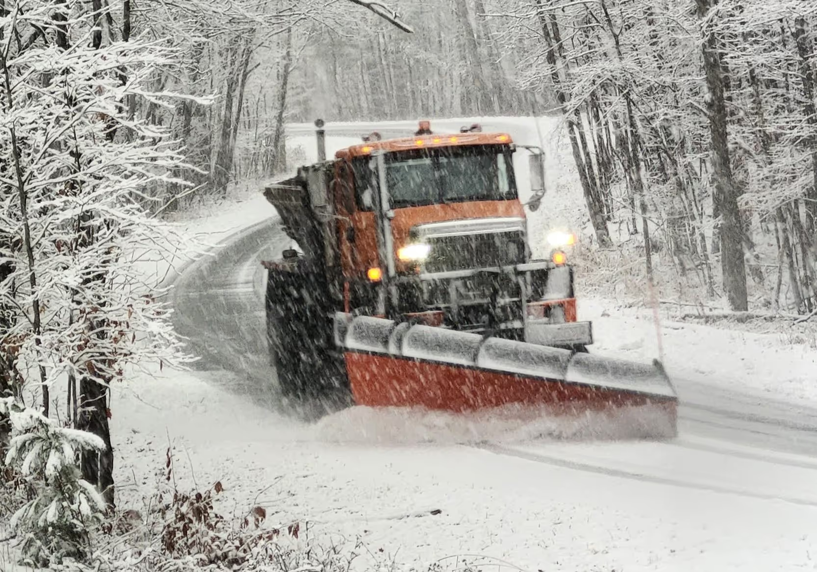
The plan for the New Baltimore Highway Department will be to put down a sand/salt mixture for the better part of the storm, which Vanwormer said won’t have the melting factor, but will help give traction for those who must travel. Salt will be applied when temperatures rise to a point where it will be effective.
“So, travelers shouldn’t expect bare melted roadways. This would be a great weekend to plan on staying off the roads and giving the plow operators the room to work and make things safer for everyone,” VanWormer said.
“I can’t state enough, if you don’t have to be on the roads, please don’t,” he added.